Why Rivers Link Places Beyond Their Banks
Why rivers link places beyond their banks: trace shared slopes, streams, and drainage divides to see how water connects communities without defining them.
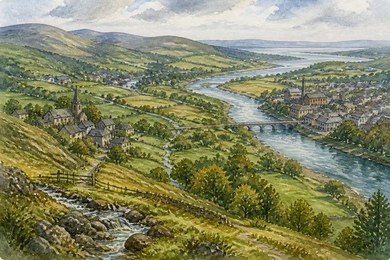
Why rivers link places beyond their banks becomes clear when you follow a small stream from a hillside into a larger channel: the water gathers contributions from several places before the river has a name on a road sign. A river basin—the land where water drains toward a common outlet—can connect settlements through slopes, tributaries, wetlands, and floodplains. But it does not, by itself, explain what makes a region distinct.
Try tracing one basin over a week, using a printed topographic map or a mapping app alongside local place information. The aim is not to prove that all communities in the basin share one identity. It is to notice which physical connections water creates, then compare them with the routes, boundaries, and everyday ties people use.
What does a river basin connect?
Rain and melting snow move downhill, first as shallow runoff and then through gullies, ditches, creeks, and larger streams. The boundary enclosing all land that drains into a particular river system is its watershed, also called a drainage basin. A ridge or gently sloping divide separates it from neighboring basins: water falling on opposite sides can ultimately reach different rivers.
That pattern links upstream and downstream places. A tributary may begin near one settlement, collect water from farmland or woodland, and join the main river near another. The lower river carries water from the whole network, not just the land beside its visible channel. In that sense, a basin is a shared physical system, even where its contributing streams are narrow or hard to spot.
The connection is not the same as a direct travel route. A stream can cross a community without offering a usable path, and a steep valley may make nearby places difficult to reach. Roads, bridges, rail lines, and footpaths respond to terrain in different ways. The river helps explain the shape of the land; it does not automatically explain how residents move through it.
How can you trace connections during a week?
Spread the exercise across several short sessions. A topographic map is useful because contour lines show elevation, while blue lines mark many streams and rivers. A local drainage or flood map may add tributaries, marshes, and floodplain boundaries. Use these as clues rather than treating any single map as a complete account: map detail and naming conventions vary.
- On the first day, choose a main channel. Pick a river with several settlements along it, then mark a point near its mouth or where it joins a larger river. This gives you a clear direction for tracing water downstream.
- On the second day, follow tributaries uphill. Work back from the main channel to smaller streams. Note where they begin, where they meet, and which roads or built-up areas cross the water.
- On the third day, locate the watershed divide. Look for ridges and high ground around the network. Check which neighboring valleys drain elsewhere; the boundary may be less obvious on flat or gently rolling terrain.
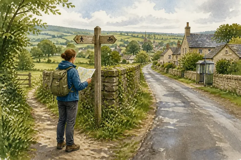
- On the fourth day, compare the basin with local routes. Look at road maps, transit information, or walking paths. Notice where travel follows a river valley and where a bridge or pass connects places across it.
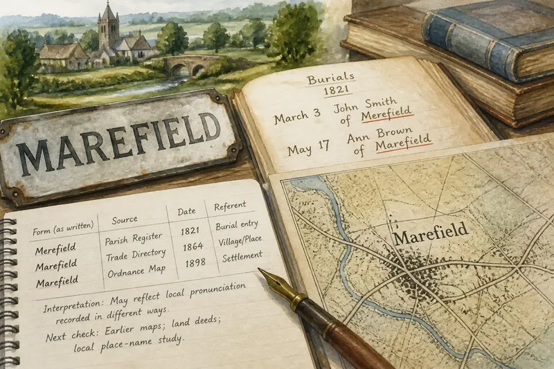
- On the fifth day, look for shared institutions and names. Check municipal information, local directories, and community maps for water services, conservation areas, or organizations that span several settlements. Compare their boundaries with the watershed rather than assuming they match.
- On the sixth day, add the region’s other physical features. Mark a coast, plateau, forest belt, lake, or mountain range where relevant. These features can connect or separate communities in ways the river network does not capture.
- On the seventh day, write a short account of the overlap and the gaps. Name the places tied together by drainage, then note which neighboring places belong to the same social, administrative, or transport network but drain elsewhere.
Keep observations modest. A blue line on a map indicates mapped water, not necessarily a year-round stream, and a boundary shown for a service area may not follow a natural divide. If labels, map notes, or local rules matter to a specific decision, check the relevant map authority or service provider.
Where do water links show up in daily life?
Shared water can matter far from a riverbank. Communities within one basin may depend on connected streams, reservoirs, wetlands, or groundwater for drinking water, irrigation, recreation, and habitat. The exact relationship varies: a town may draw from a reservoir outside its watershed, while a small upstream settlement may have little direct contact with the main river.
Water also carries effects downstream. Sediment, nutrients, and runoff can move through connected channels, while wetlands and floodplains can store water and shape how it travels. These links give neighboring authorities reasons to coordinate land and water decisions, even if their political boundaries do not align with the basin. A shared drainage system is a reason to ask who is connected and how, not evidence that every place has identical needs.
Imagine a fictional town called Alderbridge upstream of a larger settlement, Millhaven. A small creek crosses fields above Alderbridge, joins a tributary, and eventually enters the river beside Millhaven. If a proposed parking area near the creek would direct more runoff toward the tributary, residents could trace the downstream connection and ask which drainage plans address it. The useful result would be a clearer question for local officials—not a claim that the two towns share one identity or face the same effects.
Why doesn’t a river define a whole region?
People organize place through more than drainage. A regional center may draw residents for work, school, shopping, or health care from several watersheds. A coastal community may share fishing practices and a ferry route with another settlement across a drainage divide. Language, family ties, local government, and historical boundaries can all connect places that water maps separate.
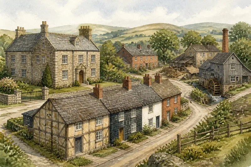
Even within one basin, experiences can differ sharply. A settlement on a steep tributary, a town on a broad floodplain, and a community near the river mouth encounter different terrain and water conditions. Some may orient toward the river; others may face a highway, a harbor, or a nearby city. The basin describes a physical relationship, not a single shared story.
There is also a scale problem. A small stream’s watershed may include only a few neighborhoods, while a major river system can cross many administrative regions. Calling both “the river region” without saying which scale you mean can blur the very connections you want to describe. Name the channel or basin, and distinguish it from the broader cultural or economic region.
Which questions help read a river-linked region?
What is the difference between a river and a watershed?
A river is the flowing channel; its watershed is all the land that drains toward it and its tributaries. The watershed therefore includes slopes, streams, and places that may be far from the main channel.
Can two nearby places belong to different basins?
Yes. A drainage divide can lie between neighboring streets or settlements, sending water from one side toward a different river. Their residents may still share roads, services, or community ties.
Does a shared watershed mean communities share the same water supply?
Not necessarily. Water systems may draw from reservoirs, wells, or rivers outside a community’s local drainage area, and service boundaries can cross watershed lines. A basin map shows where surface water drains, not who receives treated water.
Why include roads and institutions on a river map?
They reveal connections the water network cannot show on its own. Comparing the layers helps distinguish physical links from the routes and organizations that shape everyday regional life.
What should a careful regional account include?
When explaining why rivers link places beyond their banks, describe the connection precisely: identify the main channel, name the tributaries or divides that matter, and say whether you mean drainage, water management, travel, or community affiliation. Then show where that connection stops being useful. A river basin can illuminate how water joins places while leaving room for the roads, institutions, landscapes, and local identities that cross its boundaries.
A good final check is to look for a nearby settlement just beyond the watershed line. If it shares a school district, market, or daily route with basin communities, include that relationship too. The edge of a drainage basin is a boundary in the movement of water—not a verdict on where a region begins or ends.